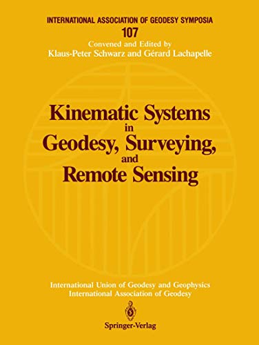
Kinematic systems in geodesy, surveying, and remote sensing : symposium no. 107 Banff, Alberta, Canada, September 10-13, 1990 Libro electrónico edited by Klaus-Peter Schwarz, Gérard Lachapelle
Tipo de material: Libro
en línea Idioma: Inglés Series Detalles de publicación: New York Springer-Verlag c1991Descripción: xi, 575 páginas ilustraciones mapas 28 centímetrosISBN:
Libro
en línea Idioma: Inglés Series Detalles de publicación: New York Springer-Verlag c1991Descripción: xi, 575 páginas ilustraciones mapas 28 centímetrosISBN: - 0387974652
- 3540974652
- 9780387974651
- 9781461231028
- Disponible en línea
| Tipo de ítem | Biblioteca actual | Colección | Estado | Código de barras | |
|---|---|---|---|---|---|
| Libros | Biblioteca Electrónica Recursos en línea (RE) | Acervo General | Recurso digital | ECO400550019839 |
Incluye bibliografía e índice
Disponible para usuarios de ECOSUR con su clave de acceso
Kinematic Systems in Geodesy, Surveying, and Remote Sensing provides a state-of-the-art discussion on the use of the Global Positioning System (GPS) in combination with Inertial Navigation Systems (INS) for detailed sensing of the Earth's surface. Divided into two parts, the book first discusses GPS/INS with respect to theory and modelling, equipment trends, estimation methods and quality control, algorithms, and software trends. It then describes the applications of these kinematic systems to positioning and navigation, modelling and measurement of gravity, gravity gradiometry, and altitude. This collection of 63 presentations documents the symposium of the same name held in Banff, Alberta, September 1990. It is the sixth volume of the International Association of Geodesy Symposia series published by Springer-Verlag New York. Inglés
Disponible en línea
Disponible en formato PDF